Residential Development

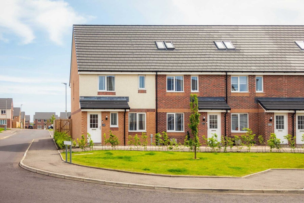
A row of modern brick and render terraced houses with small front gardens and a curved pavement.

Your First Home: What developers and first-time buyers need to know about the new government scheme announced in the Autumn Budget

Two people use pencils to review a land development plan on a large paper map spread across a desk.

Contractual Control Rights: preparing for the new reporting requirements

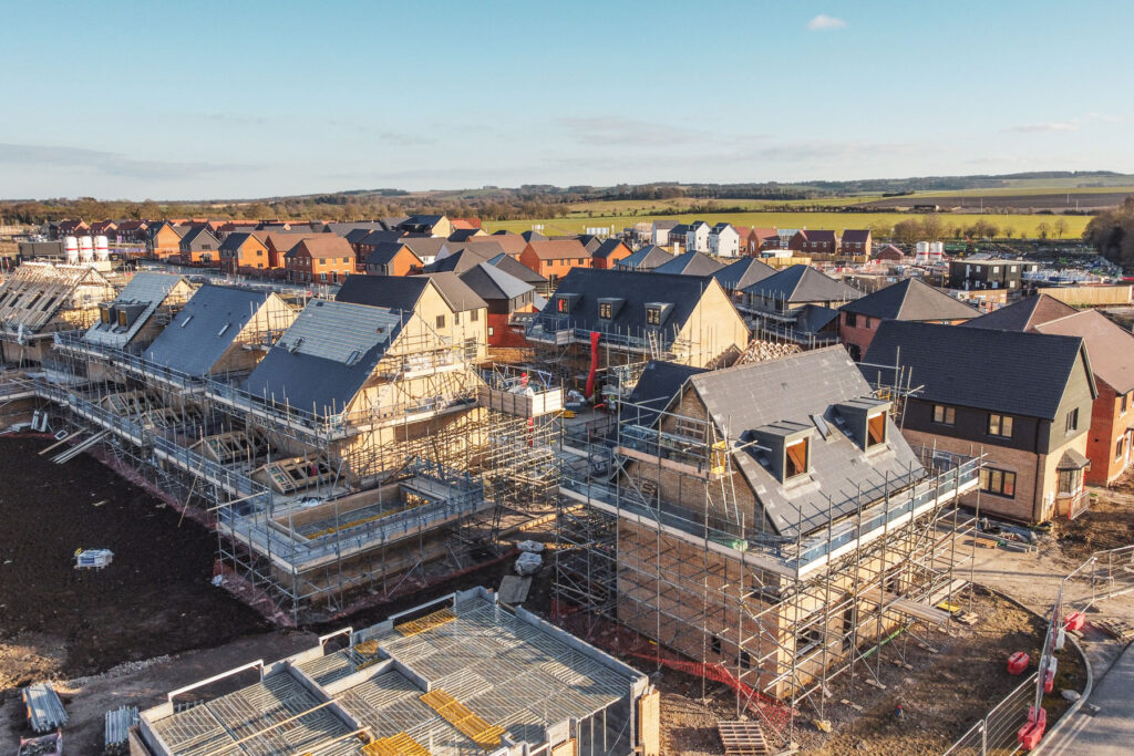
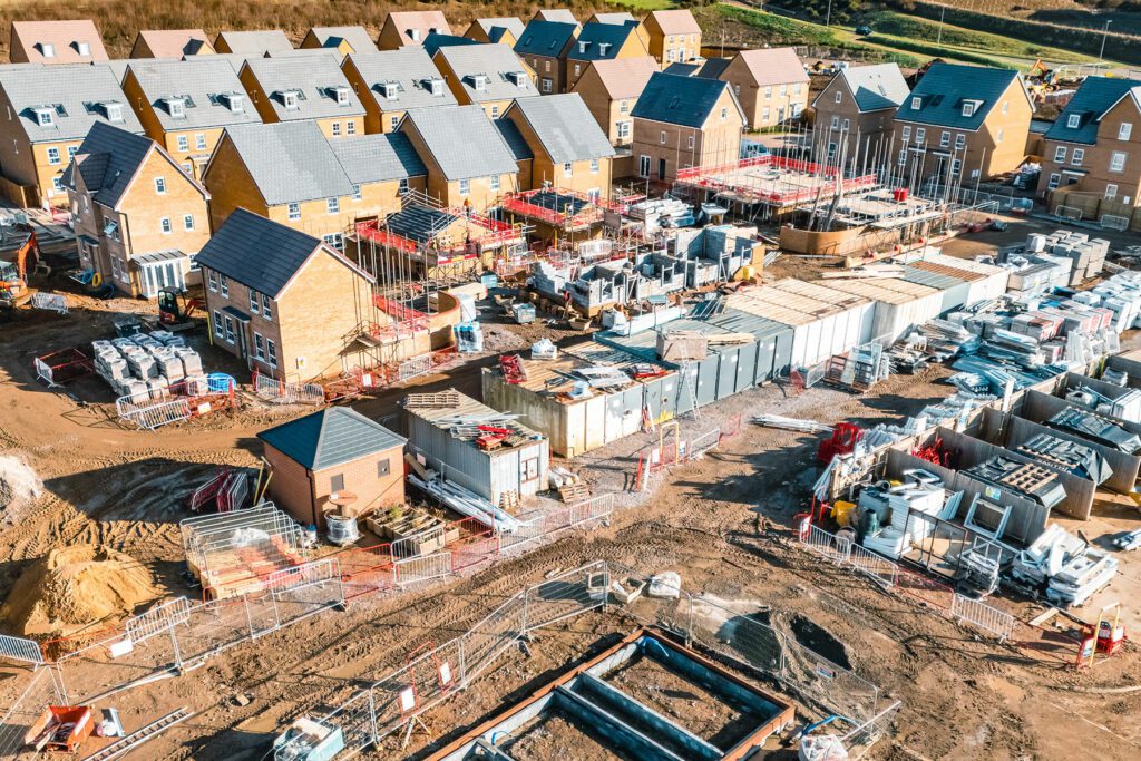
Aerial view of a residential construction site featuring multiple houses in various stages of completion surrounded by scaffolding.

Appeals and section 106 planning obligations: An important change in the rules

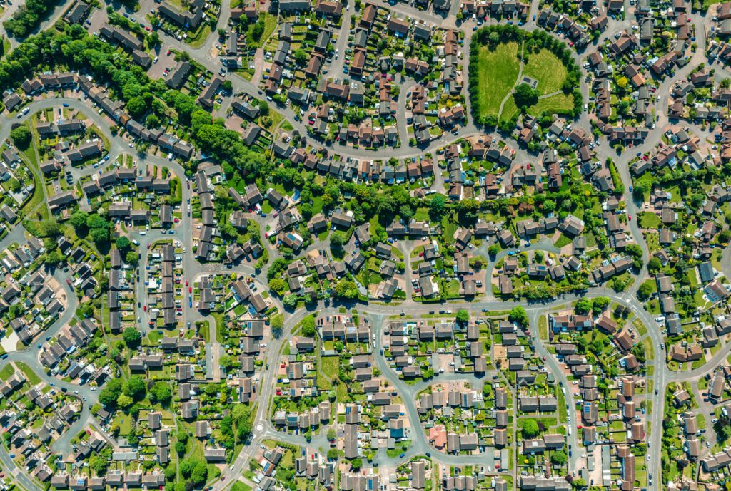
Houses and fields shown from the sky by drone give a unique perspective on UK life on the suburbs

The National Planning Policy Framework 2026

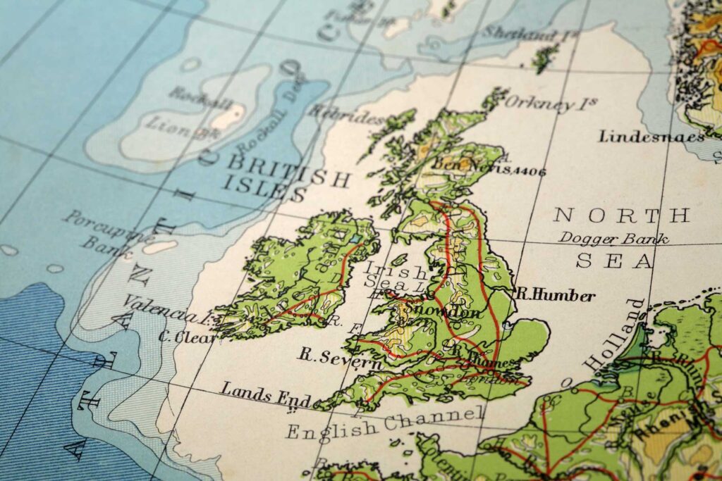
A close-up of a vintage map showing the British Isles, including Ireland, Great Britain, and surrounding seas, with labelled cities, bodies of water, and geographic features.

One authority, one plan? England’s Local Government shake-up confirmed

Top view, construction workers or blueprint planning in house, home or office building in real estate, property or architecture innovation

Proposed draft Nature Restoration Levy Regulations 2026

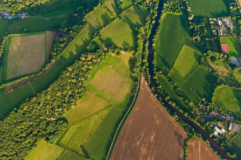
Vibrant green crops, ploughed fields and pasture, hedgerows and woodland surrounding farms and country homes beside an idyllic rural patchwork quilt landscape from high above.

Environmental Delivery Plans and the Nature Restoration Levy: what’s new?

Worker in blue uniform examining waste water pipes

Securing wastewater connections for development: delivery routes, risks and alternatives

Construction worker on building site showing housebuilding,roof trusses, scaffolding and completed house

Case alert: further clarity on the Building Liability Order regime under the Building Safety Act 2022

Drone view of new housing development being built in the UK

The likely effects of the new call-in Direction

An environmentalist and engineer check reservoir

Water supply for developments: delivery and risks

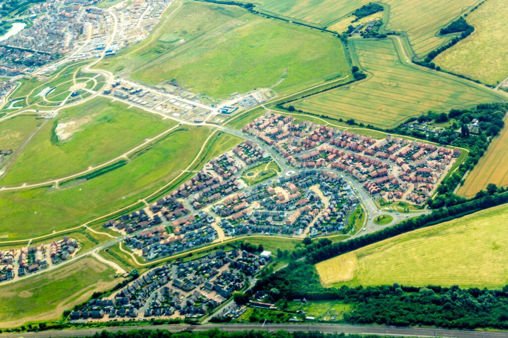
Aerial view of a suburban neighbourhood with houses, roads, roundabouts, and surrounding green fields and farmland, reflecting thoughtful planning principles consistent with the NPPF.

Title due diligence and the impact of restrictive covenants on development land

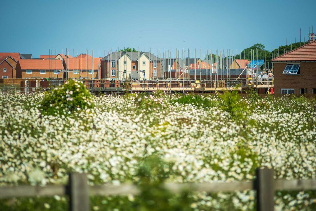
A field of white wildflowers in the foreground with new houses under construction and finished homes in the background under a clear blue sky.

Dealing with BNG and other natural capital in option and promotion agreements

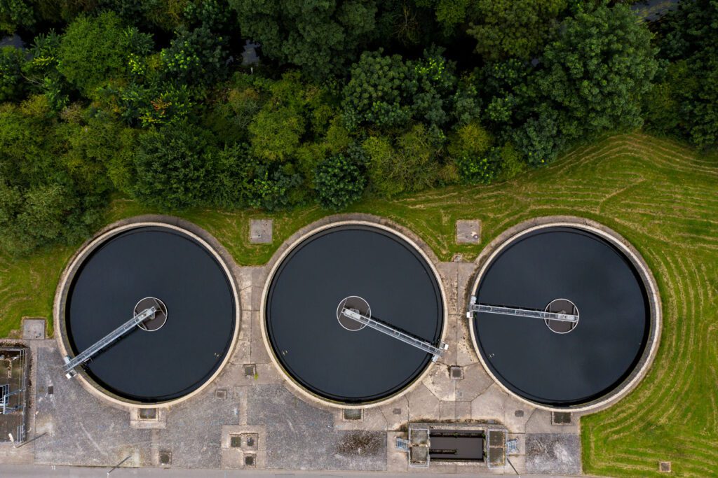
Aerial view of the tanks of a UK sewage and water treatment plant enabling the discharge and re-use of waste water and re-use of waste water

A new vision for water: what the 2026 White Paper means for developers

Houses and fields shown from the sky by drone give a unique perspective on UK life on the suburbs

Revised draft National Planning Policy Framework (NPPF) released

1 2 … 5